Melissa Gundersen (M.Sc.) is a petroleum geologist at Pioneer Natural Resources. She received her B.Sc. in geology from SUNY New Paltz in upstate New York. She then migrated westwards to Flagstaff, AZ where she worked on her masters degree with Paul Umhoefer at Northern Ariozona University. Thanks to her research, Melissa has fallen in love with the Pacific Northwest of the U.S.A.
Introduction
As I hiked up to the tallest point in my field area, I looked to the south in awe, observing thousands of feet of sedimentary rocks that make up the Swauk Formation. And as I turned to the north, I tilted my head up to see the very top of the even higher mountains, made of crystalline rock. Standing at 7036’, on the summit of Earl Peak, it amazed me that this mountain was once a low point collecting and transporting sediment that was being shed off these nearby crystalline mountains. I began to wonder how and why did these massive crystalline mountains form and how did the sedimentary rocks of the Swauk Formation fit into the tectonic story? What I didn’t realize at this moment, was that this was a much more complicated question than I could imagine. So when my graduate advisor asked me to figure this all out, it definitely felt like one of those “I bit off more than I can chew” situations. But I was excited to give it a go.
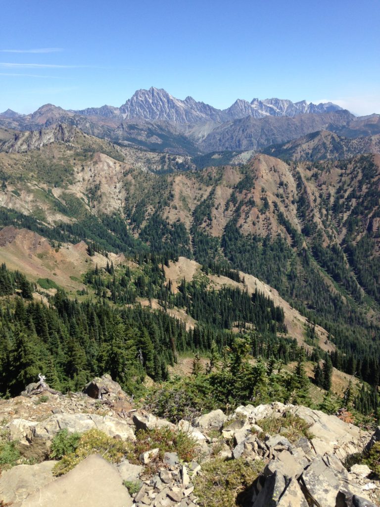
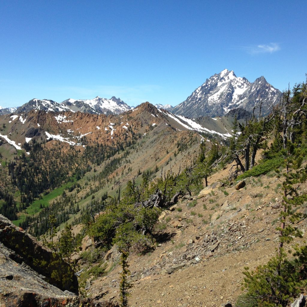
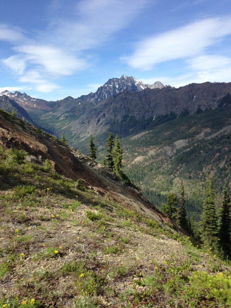
View of Swauk deposits and Mount Stuart batholith
Background
Depositional basins, such as the Swauk basin, are often accompanied by uplift of mountains, which provides an ideal opportunity to study the temporal and spatial relationship between uplift, erosion, and sedimentary deposition. The sedimentary rocks provide clues about each of these processes, including details about paleopathways from source mountains to the basin. For my study, I mapped the variations in rock compositions throughout the basin, collected samples for microscopic analysis (sandstone petrography), as well as zircon (useful mineral) age dating to understand how the Swauk Formation recorded the uplift of mountains in the Pacific Northwest.
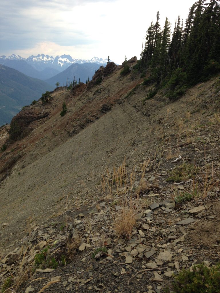
Nearly flat-lying Swauk strata (rock layers) with picturesque North Cascade peaks in background
Zircons are a common accessory mineral that form in granitic igneous rocks. These tiny minerals (average size of my zircon grains were ~ 0.2 mm) are extremely durable and can survive billions of years of transportation through high energy rivers and are deposited along with other minerals and rock fragments into sedimentary basins. Zircons incorporate uranium into their crystal structure, but reject lead, when first forming, therefore any amount of lead in the mineral is a result of the radioactive decay of uranium to lead. The ratio of uranium to lead can be used to determine the age of the mineral. The ages of the zircon grains helped me in two ways: 1) by constraining the age of deposition of the Swauk Formation and 2) by matching different zircon age groups to nearby crystalline mountains, proving they were a source into the basin.
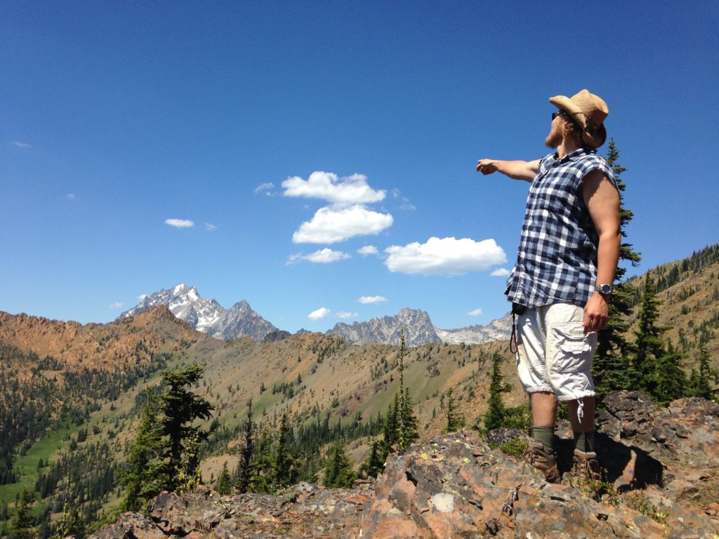
My field assistant (Karl Seitz) enthusiastically pointing out the magnificent Mount Stuart
Field Work
I spent two field seasons, a total of 4 months, camping out and hiking around beautiful central Washington, mapping the details of the Swauk Formation and collecting samples for further lab analysis. My field area was right in the transition zone from the lush forests of western Washington and the dry desert of eastern Washington.
My first field season was during the summer months of 2014 and I thoroughly took advantage of all the splendor of summertime in the Pacific Northwest, from the local fruit vendors selling rainier cherries on the side of the road, to foraging wild berries in the woods while I was hiking, to swimming in the most picturesque and pristine mountain lakes. I would typically spend one to two weeks camping and cooking out under the stars (and taking proto-baths in nearby lakes and rivers), punctuated with a day going to town to eat something more than rice and beans, do laundry, take a real shower and sleep in a real bed. As the field season went on I observed changes in the landscape around me; the daytime temperatures continued to rise, the river and stream levels got lower, and there always seemed to be a new wildfire turning the blue summer skies to an eerie orange glow.
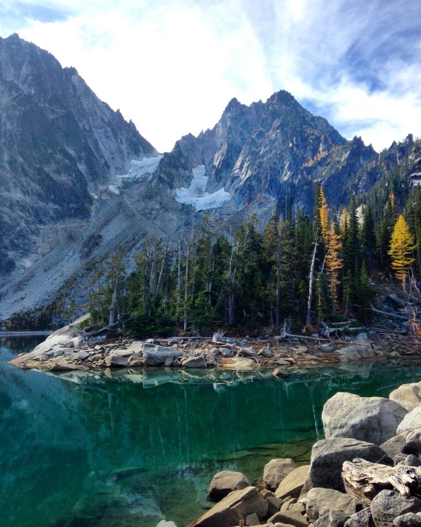
The grandiose Mount Stuart Batholith with Colchuck Lake in the foreground.
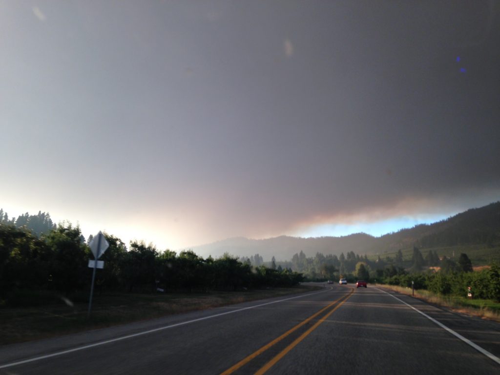
Wildfire haze over Central Washington
During my first field season, I did the majority of my geologic mapping. This involved hiking around different areas of the basin, mapping and characterizing the size, shape, and mineralogy of the rocks. Samples were collected along linear transects perpendicular to the rock layers in order to analyze temporal and spatial trends. Getting to decent rock outcrops proved to be much more difficult than what I was used to in Arizona, where I was attending graduate school. In order to get decent sized samples, I needed to get up high, on ridge tops where there was exposed rock. Much of my field area lacked any development, requiring bushwhacking up densely vegetated mountain sides while taking advantage of every hiking trail and the occasional abandoned logging roads. In the mornings, my field assistant and I would leave with backpacks full of water, when we would return in the evening, the weight in backpacks would be replaced with 20-30 lbs of rocks.
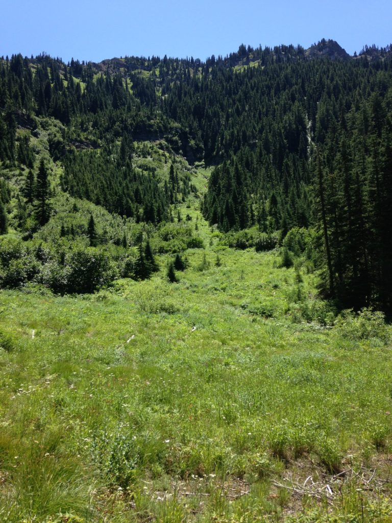
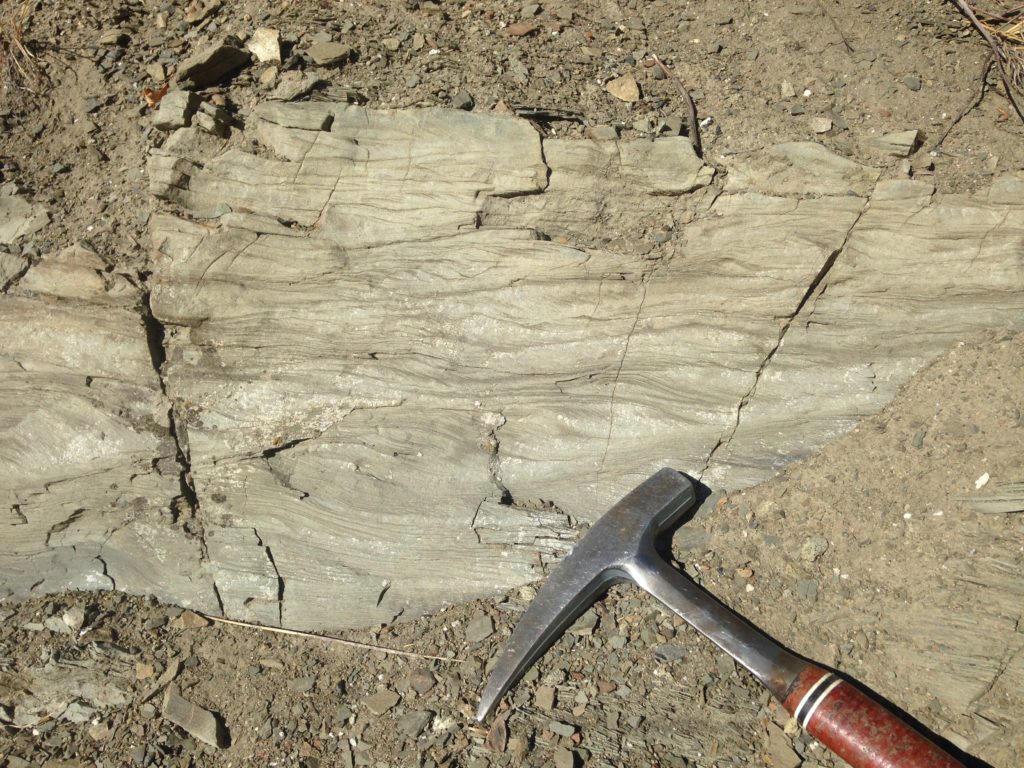
A typical amount of rock exposure in my field area
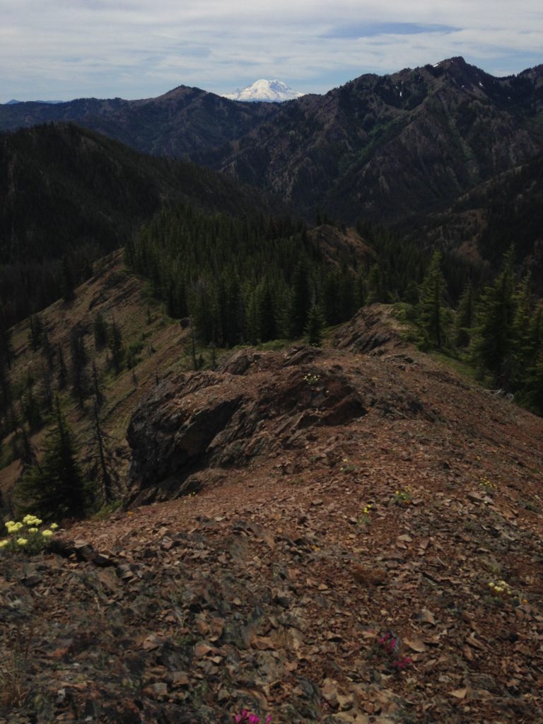
Looking back down a ridge spine of Teanaway dike with Mt. Rainier in the background
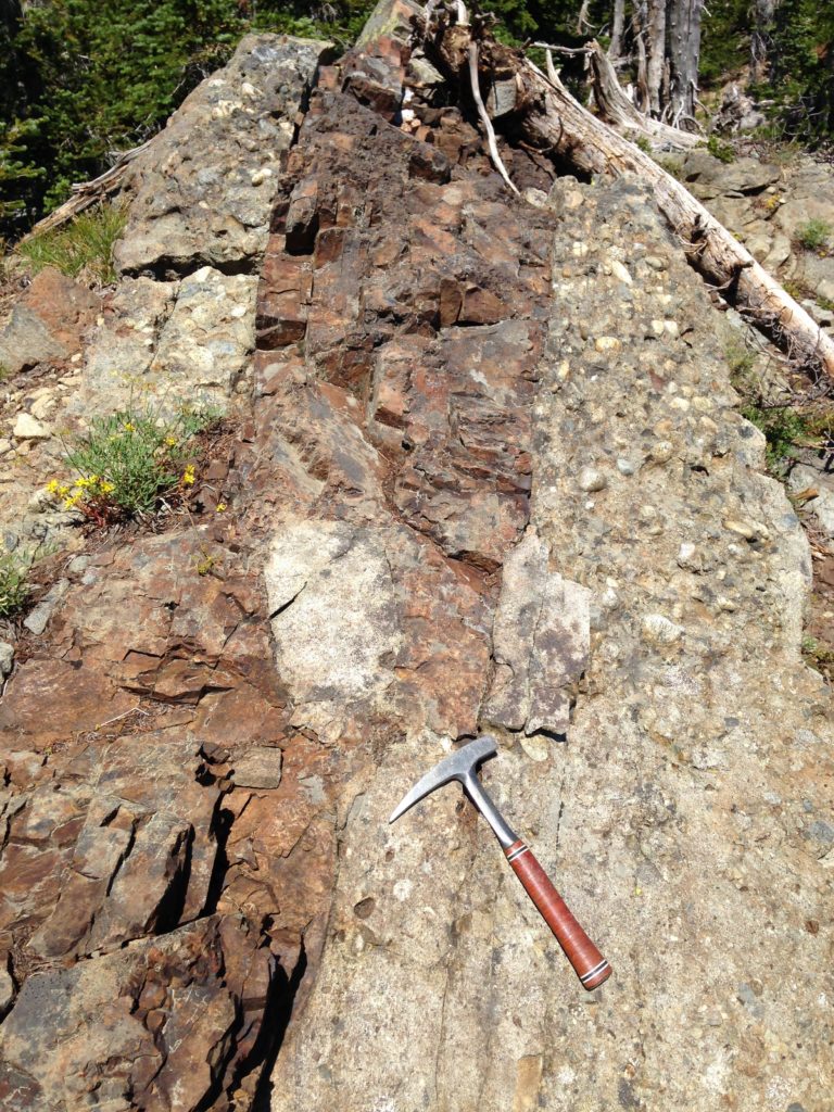
The more I hiked around, the more I realized that a majority of the mountains that make up the Swauk Formation are being held up by thousands of basaltic dikes (ancient vertical magma pathways that squeezed their way through preexisting rock). This dike swarm is incredibly impressive. Massive dikes and sills intruded the Swauk Formation (after it was deposited) and in some areas of the basin they account for more than 70% of exposed rock. These dikes fed the overlying younger volcanism, known now as the Teanaway Formation.
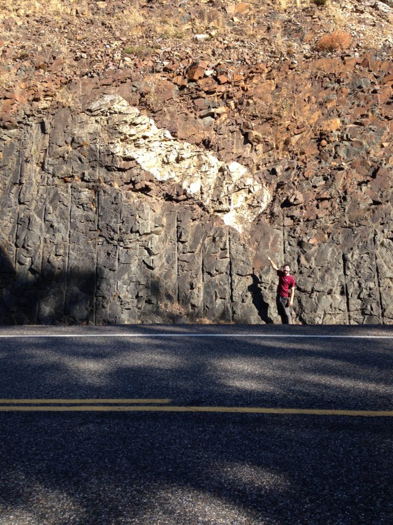
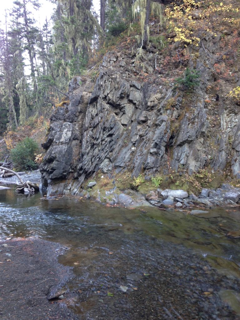
Massive Teanaway dike swarm devours the Swauk Formation leaving behind a sandstone xenolith.
My field assistant (Nathan Liechty) casually providing a scale of these interbedded sandstones and mudstones of Swauk Pass
The following fall, I returned for my second field season, right in time for Leavenworth’s Oktoberfest. One of the closest towns to my field area is this magical little town, tucked away in the mountains called Leavenworth. At first glance, it may look like any other mountain town, filled with family owned restaurants, local mountain climbers, and tourists taking in the beauty. However, when you start to look a little closer, you begin to notice the abundance of Bavarian themes, including biergartens, lederhosen, and chalets. Leavenworth always made for an entertaining trip for groceries. During my last field season, I filled in gaps in my map and collected the last bit of samples I needed.

A Leavenworth local shows off his fantastical Oktoberfest fashion
Swauk Formation with snow-covered Mt. Stuart in the background
Vertical and overturned strata in Swauk Formation

My field assistant (Nathan Liechty) walking along tilted lacustrine deposits on Tronsen Ridge
Results/Conclusions
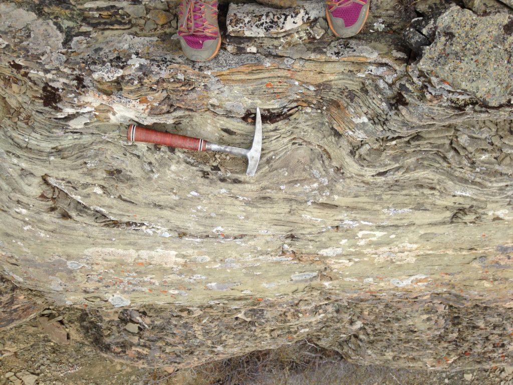
Convolute bedding of the fine-grained sandstone lithofacies
Complex geometry of the Teanaway dikes that intruded this basal Swauk conglomerate
So what did I find? By integrating all of my datasets, I was able to put together a depositional history of the Swauk Formation.
- Very generally speaking, the deposition of the Lower Swauk Formation began about 59 million years ago as a result of the uplift of source mountains to the east and north of the basin. Zircon ages from the Swauk Formation matched the age of prominent mountains to the northeast, suggesting they were feeding sediment into the basin. Early on in the basin formation, the majority of sediment was deposited via high energy alluvial fans and rivers that flowed to the south and southwest.
- At roughly 51.5 million years ago, there was a reversal in the direction the rivers flowed. During this time, the Upper Swauk Formation was deposited via south and southeast flowing meandering streams, rivers, as well as lake deposits. The majority of zircon ages in the Upper Swauk Formation matched crystalline rock ages to the north, including the Mount Stuart Batholith, providing further evidence for the uplift of these source terranes and their contribution to the basin during this time.
- After the Swauk Formation was deposited, it experienced at least two different phases of structural deformation. The first, folding and faulting the rocks in tight NW-SE trending folds. During the second event, the basin was split along strike-slip faults, translating parts of the basin 150 km northward near the border with Canada and the Teanaway dike swarm was emplaced.

Fossilized palm fronds give a glimpse into the warm, humid climate during the Eocene in the Pacific Northwest
Climbing ripples associated with the lacustrine deposits of the Swauk Formation
These findings also have implications on a much broader scale. The observations and interpretations I made from the Swauk basin suggest it was the direct result of active tectonics along the North American margin during this time. A spreading ridge (similar to the Mid-Atlantic Ocean Ridge) was subducting beneath the Pacific Northwest leading to inboard uplift, faulting, and volcanism.
The geology of the Swauk basin reveals an abundant amount of information, all clues to the development of the mountains, ridges, and valleys that I studied for several years during my graduate school research. I now have a greater appreciation for the complexity of landscapes and the history they reveal. So, the next time you’re hiking around, I encourage you to observe the landscape around you. Why are the mountains where they are? The valleys? Let your imagination run wild. The rocks hold a much more interesting and complex story than you might originally think.
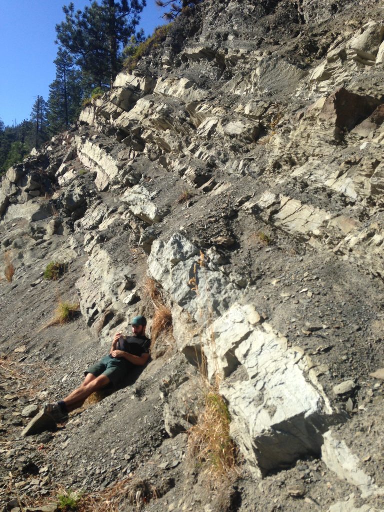
Melissa standing on a thin swath of Swauk Formation sandwiched by Teanaway dikes on the approach to Earl Peak summit
A view of Mount Stuart from Koppen Mountain
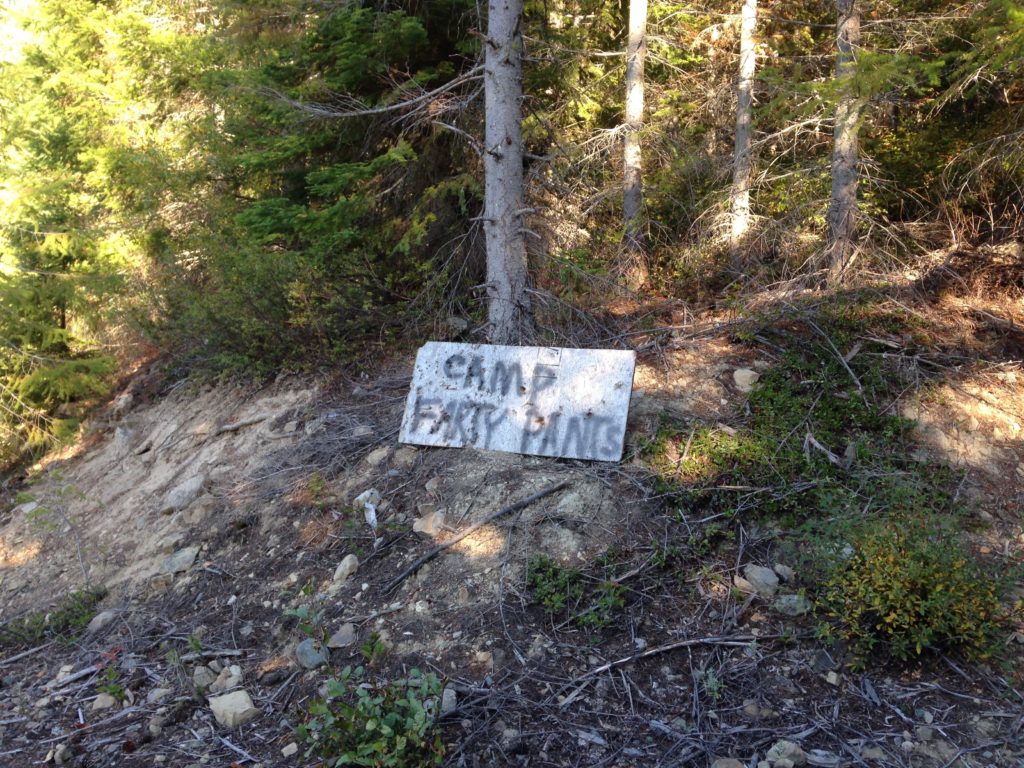
Weird signs in the woods – “Camp farty pants”
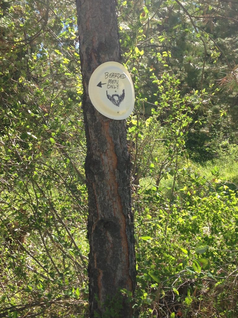
Weird signs in the woods – “bearded men only”
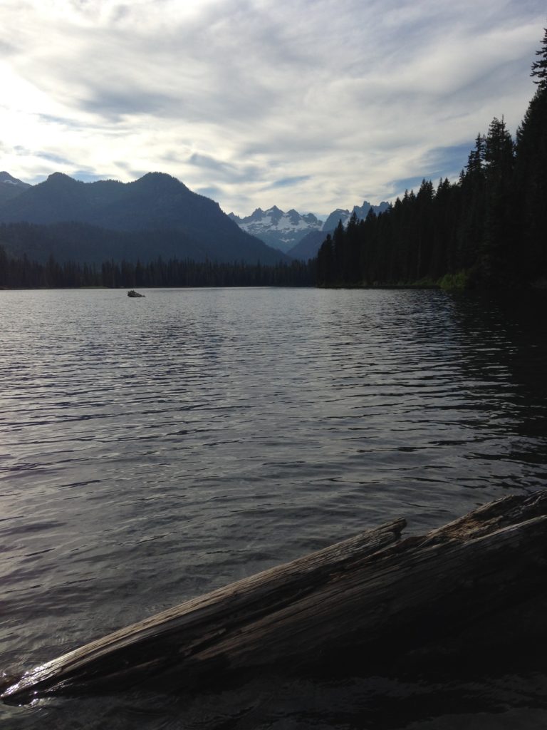
One of the many alpine lakes I enjoyed during my field work
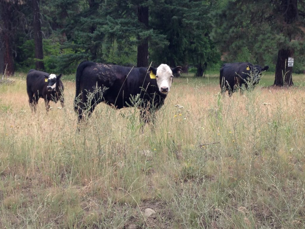
Free range cattle and their calves were common visitors in my field area


